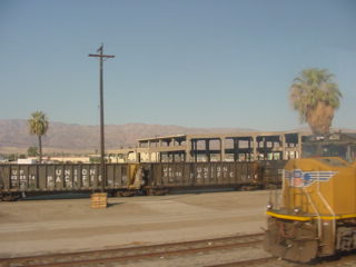
The former Southern Pacific Indio shop with Union Pacific 4130.
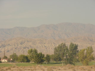
The view towards Joshua Tree National Park. At 5:40 PM, I was called into the dining car and was seated with a nice couple going to Norman, Oklahoma.
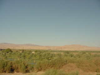
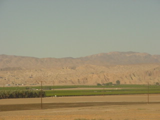
We travelled down the Coachella Valley.
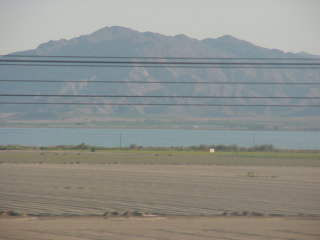
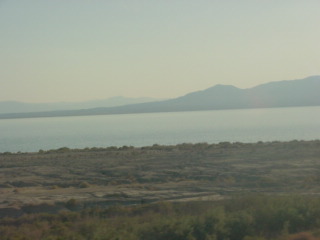
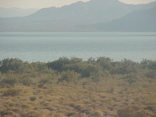
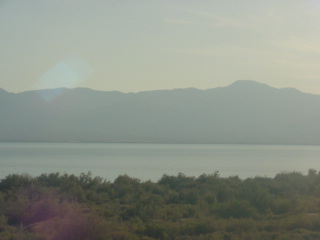
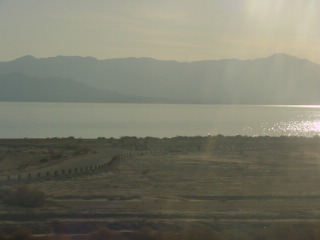
The Salton Sea, a shallow, land-locked, highly saline body of water in Riverside and Imperial counties. It lies on the San Andreas Fault within the Salton Trough, which stretches to the Gulf of California in Mexico. Over millions of years, the Colorado River had flowed into the Imperial Valley and deposited alluvium (soil), creating fertile farmland, building up the terrain and constantly moving its main course and river delta. For thousands of years, the river alternately flowed into the valley or diverted around it, creating either a salt lake called Lake Cahuilla or a dry desert basin, respectively. When the Colorado River flowed into the valley, the lake level depended on river flows and the balance between inflow and evaporative loss. When the river diverted around the valley, the lake dried completely, as it did around 1580. Hundreds of archaeological sites have been found in this region, indicating possibly long-term Native American villages and temporary camps.
The modern lake was formed from an inflow of water from the Colorado River in 1905. Beginning in 1900, an irrigation canal was dug from the Colorado River to the old Alamo River channel to provide water to the Imperial Valley for farming. The headgates and canals sustained a buildup of silt, so a series of cuts were made in the bank of the Colorado River to further increase the water flow. Water from spring floods broke through a canal head-gate, diverting a portion of the river flow into the Salton Basin for two years before repairs were completed. The water in the formerly dry lake bed created the modern lake, which is about 15 by 35 miles at its widest and longest.
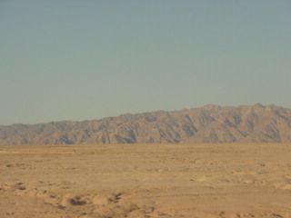
The Chocolate Mountains which form the northeast boundary of the Salton Trough extending as a narrow range some 80 miles southeast from the Orocopia Mountains to the Colorado River valley. They are located about 30 miles west of the Chocolate Mountains of Arizona, but the two ranges are not connected. The range reaches an elevation of 2,475 feet at Mount Barrow and serves as a drainage divide for the Salton Watershed to the west. They are composed of Precambrian basement rocks and Orocopia Schist with Mesozoic granite intrusions and may have been formed by the collision of a micro-continental fragment with mainland Southern California during the Late Cretaceous. The collision is indicated by a thrust fault which emplaced Proterozoic and Mesozoic rocks of continental crust on top of the late Mesozoic Orocopia Schist which in turn was composed of oceanic sedimentary and volcanic rocks. The range was host to numerous small gold workings in the 19th century with one, the Mesquite Mine to the east, continuing to be active into the 20th century.
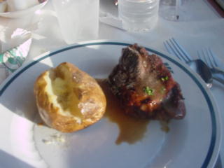
I had the Braised Flat Iron Bordelaise for my dinner along with Key Lime crumb cake for dessert.
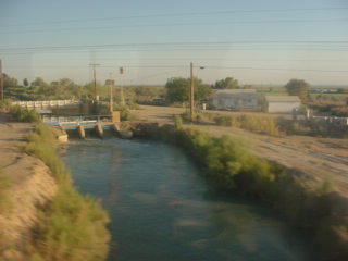
A canal after Niland.
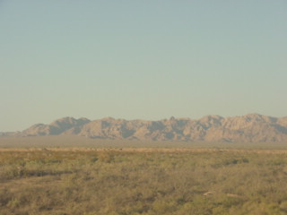
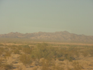
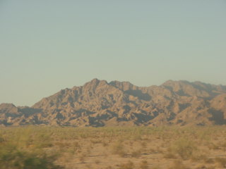
The Chocolate Mountains.
The Imperial Sand Dunes Recreation Area (also known as ISDRA or Glamis) is the largest off-highway vehicle (OHV) recreation area for sand dunes in the United States. There is golden sand as far as the eye can see and the dunes have been in famous movies such as "Star Wars", "The Scorpion King", "Lawrence of Arabia" and many others. Located in the southeast corner of California, the Imperial Sand Dunes are the largest mass of sand dunes in the state which were formed by windblown sands of ancient Lake Cahuilla. The dune system extends for more than 40 miles in a band averaging five miles wide. Dunes often reach heights of 300 feet above the desert floor, providing outstanding opportunities for recreation. A favorite place for off-highway vehicle enthusiasts, the dunes also offer fabulous scenery, opportunities for solitude and a home to rare plants and animals.
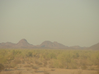
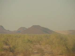
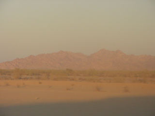
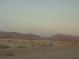
More views of the Chocolate Mountains.
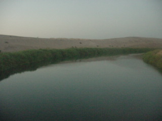
All-American Canal.
On the way to Winterhaven.
All-American Canal is an 82-mile-long aqueduct which conveys water from the Colorado River into the Yuma Project, the Imperial Valley and to nine cities. It is the Imperial Valley's only water source and replaced the Alamo Canal, which was located mostly in Mexico. The Imperial Dam, about 30 miles northeast of Yuma, Arizona on the Colorado River, diverts water into the All-American Canal, which runs to just west of Calexico, California before its last branch heads mostly north into the Imperial Valley. Smaller canals branching off the All-American Canal move water into the Yuma Valley and the Imperial Valley. These canal systems irrigate up to 630,000 acres of crop land and have made possible a greatly increased crop yield in this area, originally one of the driest on earth.
It is the largest irrigation canal in the world, carrying a maximum of 26,155 cubic feet per second. Agricultural runoff from the All-American Canal drains into the Salton Sea.
The Colorado River before we entered Arizona.
Yuma, Arizona before I made up my bed and called it a night.
8/29/2009 I arose after Deming, New Mexico and went to the dining car for a breakfast of French Toast and sausage patties while seated with a gentleman going from Eugene, Oregon to Beaumont, Texas.
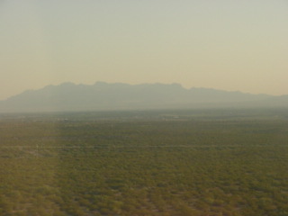
Looking north at mountains of New Mexico.
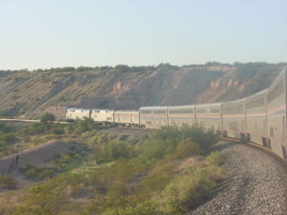
Dropping towards the Rio Grande River.
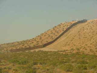
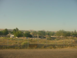
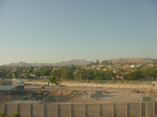
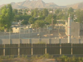
Running along the United States/Mexico border.
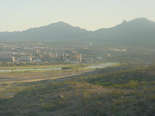
The Rio Grande Valley with New Mexico in the foreground and Texas in the background.
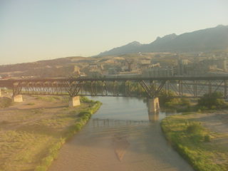
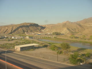
Crossing the Rio Grande River into Texas.
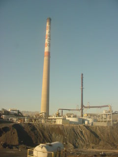
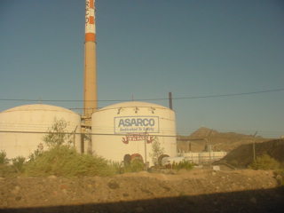
The Asarco, or American Smelting and Refining Company, refinery west of El Paso.
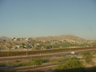
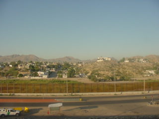
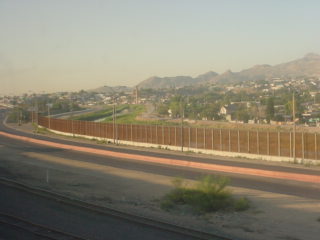
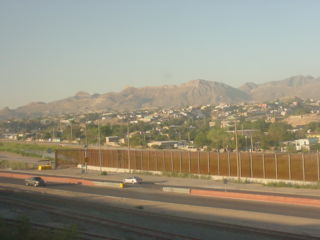
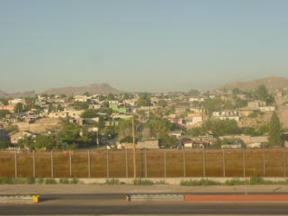
Cuidad Juarez across the Rio Grande River in Mexico before we arrived at El Paso at 7:42 AM {8:16 AM}.
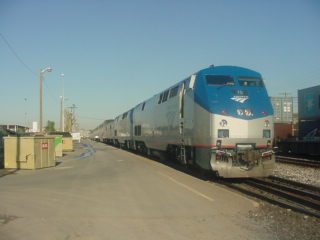
The Sunset Limited at El Paso.
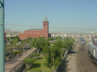
Overview of the El Paso Union Station, served by the Texas Eagle and Sunset Limited, which was designed by architect Daniel Burnham who also designed Washington D.C. Union Station. It was built between 1905 and 1906 and was added to the National Register of Historic Places in 1971.
| Part 3 of this travelogue |