


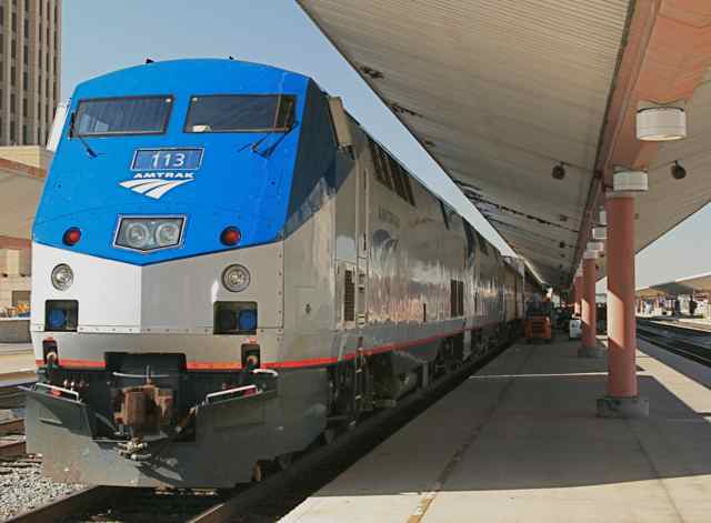
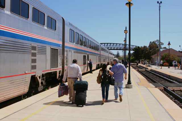
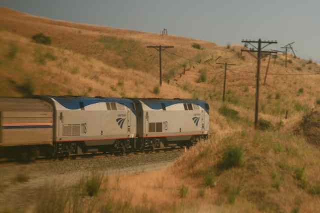
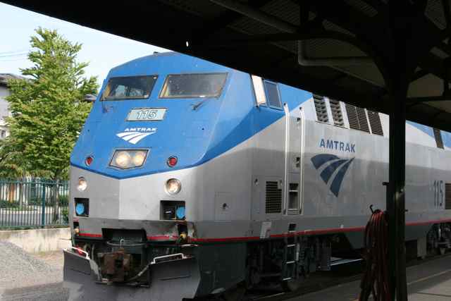
 No. 113 on the lead at L.A. |
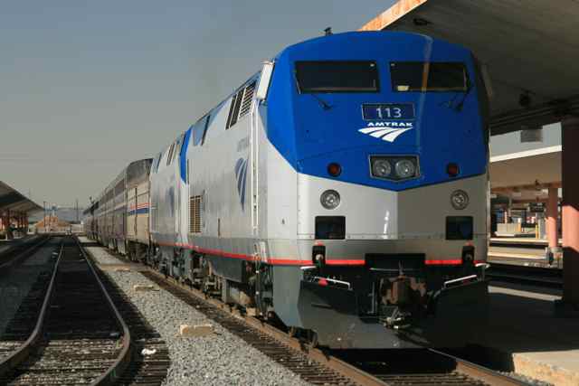 No. 113 on the lead at L.A. |
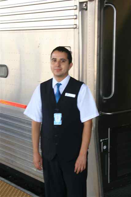
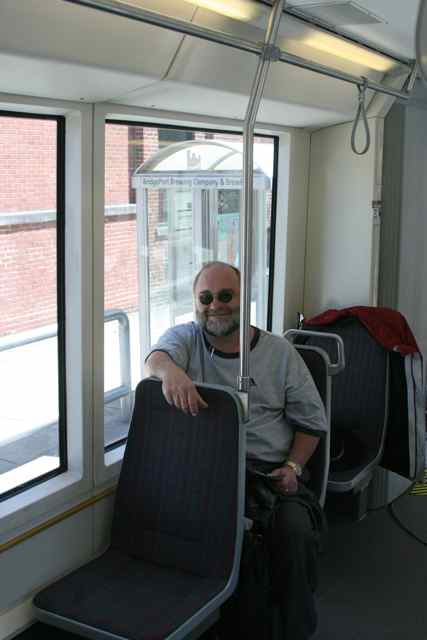
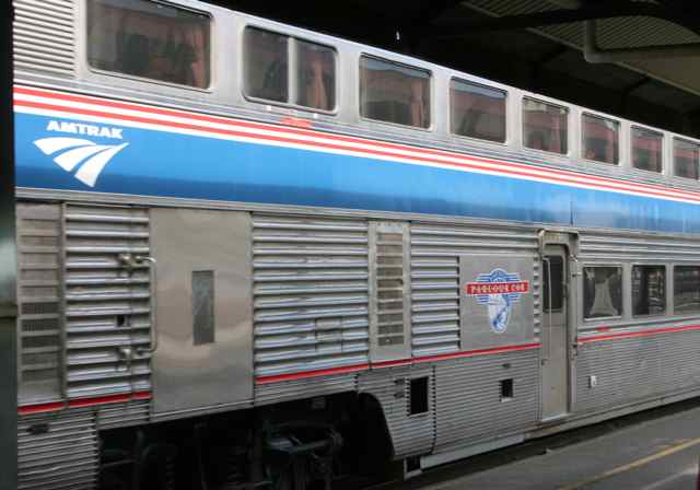
 The second locomotive, No. 118, looked newly painted. Our Sleeping Car 1430 Attendant, Jose Lopez (right). |
 |
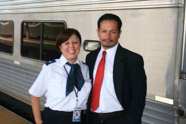 Monica (left)
was a trainee on this trip and had been a trainee on earlier trips as a
car attendant and waiter.
|
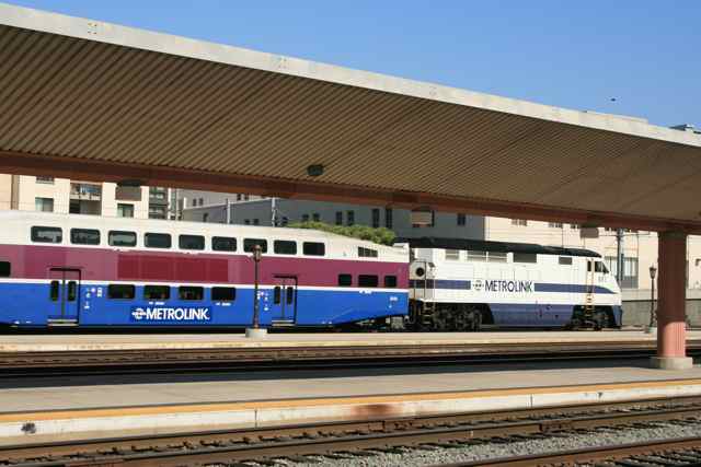 As I talked
with the car attendants before departure, Jose pointed out a Metrolink
car that had been brought down from the north for use in L.A.
|
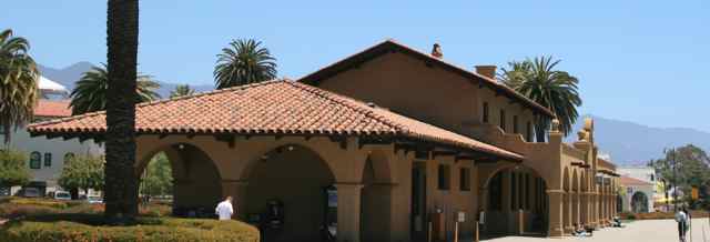 Santa Barbara Station, first stretch break. |
 |
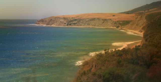
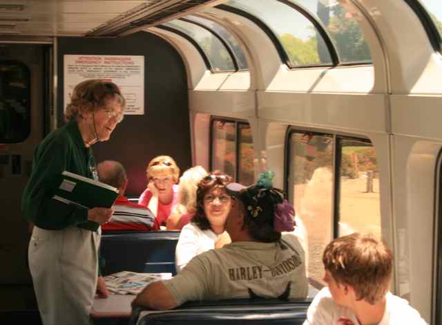 Trails and Rails volunteer guide on the train (above). California
Coast past Goleta, CA, heading for San Luis Obispo.
|
 |
 |
 |
 |
 |
 |
 |
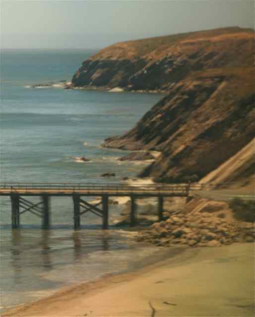
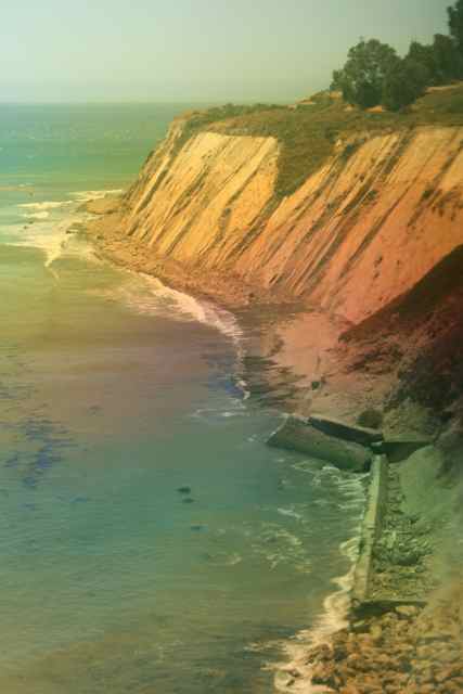
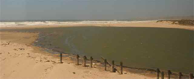
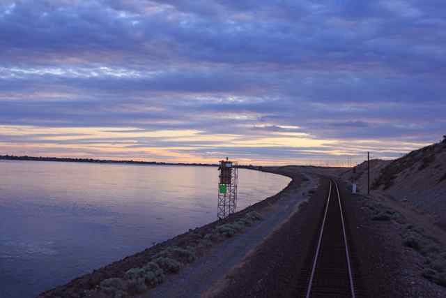
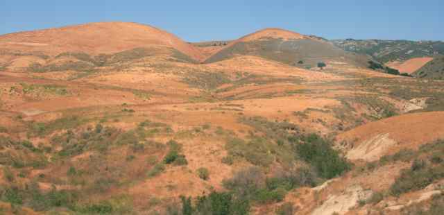 Looking away
from the ocean, a mountain range rises up. President Reagan had a
ranch over those hills, inland from Gaviota, CA, Beach.
|
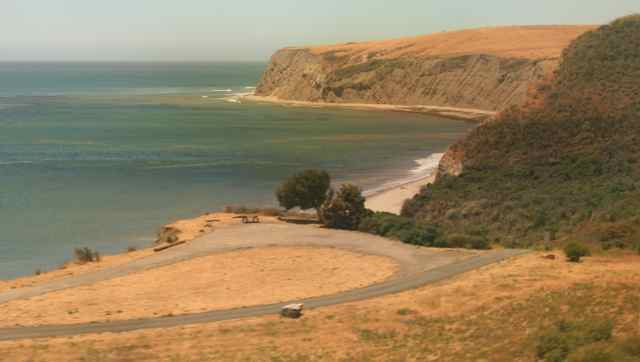
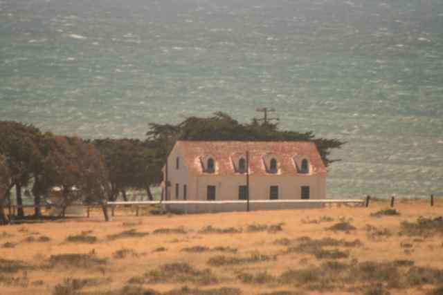
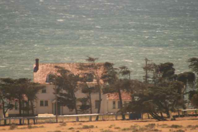
 Point Conception |
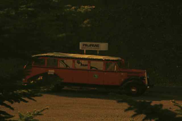
 Camp ground reachable from Lompoc. (Right) creek on north side of the campground. |
 |
 |
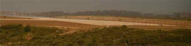
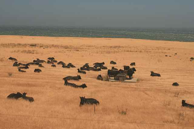 I wonder if the
beef tastes better if they've had a steady diet of an ocean view.
|
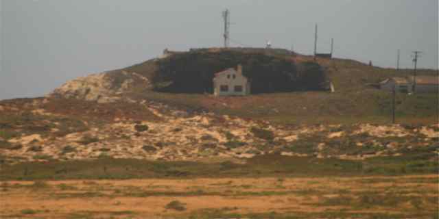
 Jamala Rescue Station |
 |
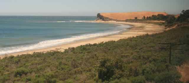
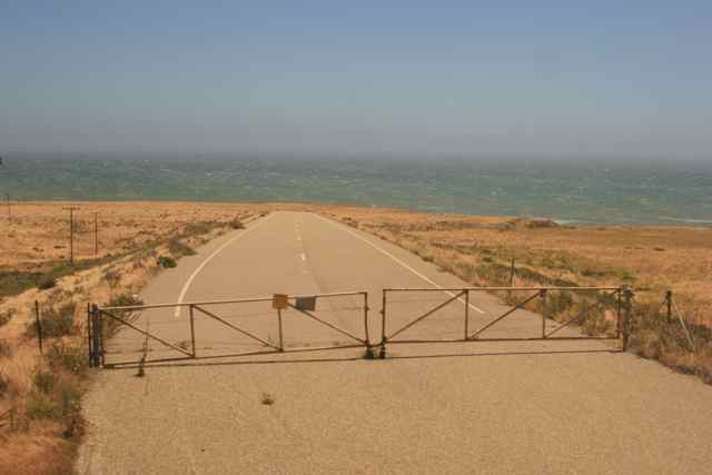
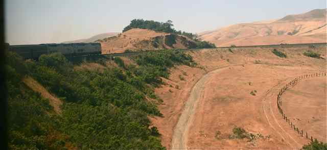
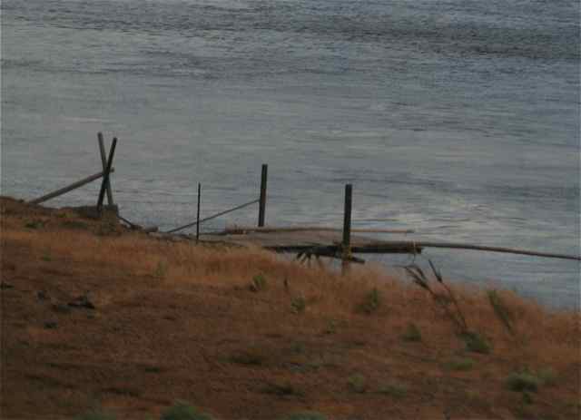
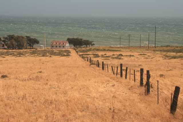 Roads and fences stretch from the railroad to the sea. |
 |
 |
 |
 |
 |
 |
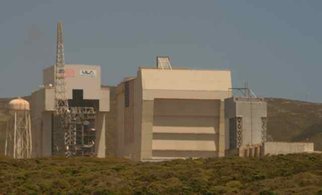
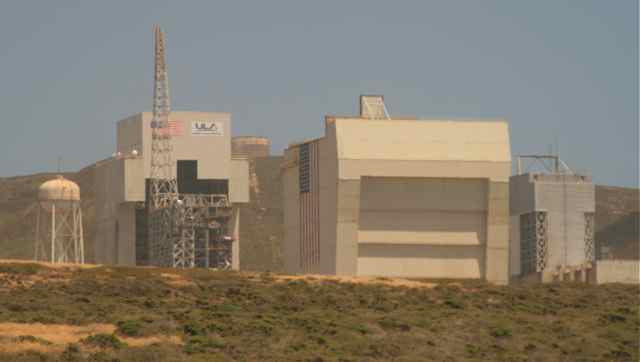
  Vandenberg Landing Strip |
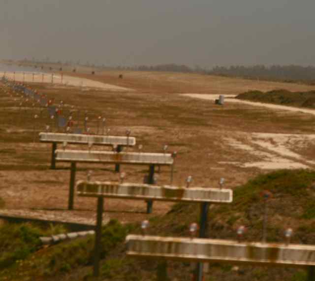 Vandenberg Landing Strip |
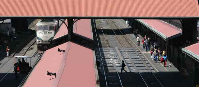
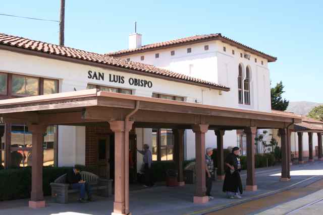 San Luis Obispo
Station where the Northbound and Southbound Coast Starlights sometimes
meet about 3 pm.
|
 View south on the platform |
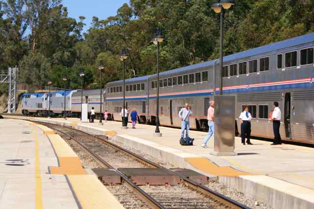 View north on the platform |
 Cuesta Grade and the Horseshoe Bend with the front of the train, |
 and the rear of the train. |
 Looking back
downgrade, you can see the long trestle we passed over, and the "S"
curve that preceeds it.
|
 The train at this point is still moving upgrade slowly. |
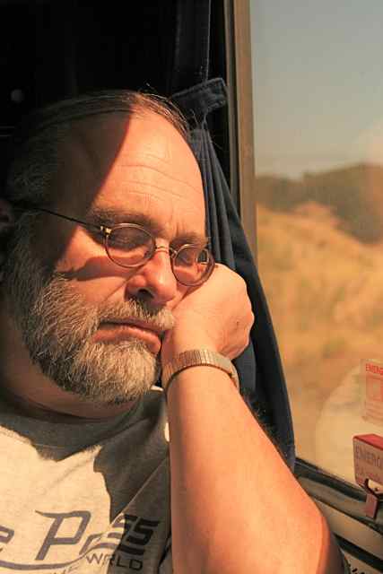 With the train
moving slowly, and wine tasting soon approaching after SLO, it's time
to catch a few winks.
|
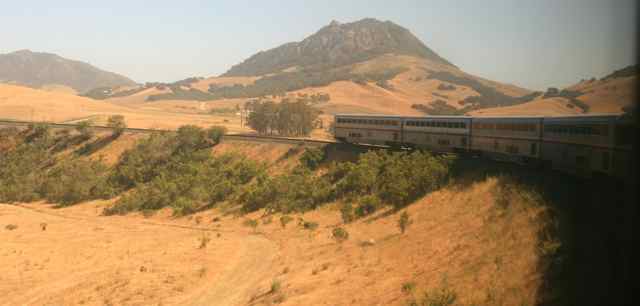
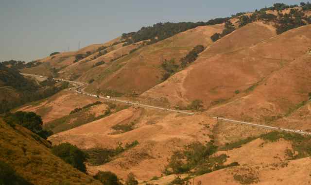 Across the
valley, Hwy. 101 has its own grade to deal with. Our side has a
few tunnels and an adjoining stage coach road for variety.
|
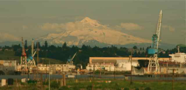
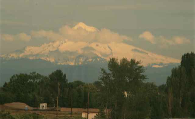
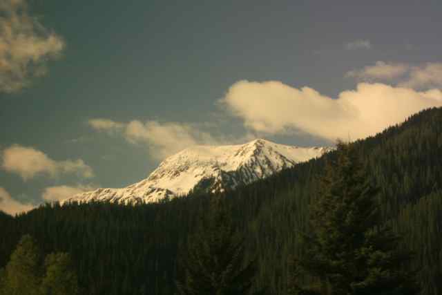
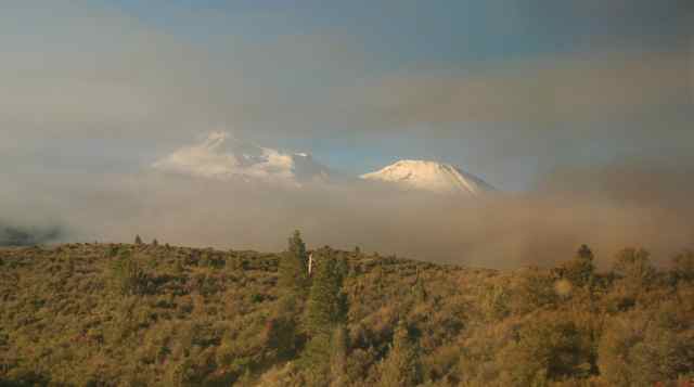 The next
morning we saw our first snow-capped dormant volcano in a chain that
runs along the west coast.
|
 |
 |
 |
|
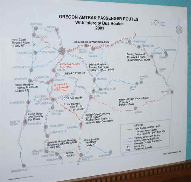
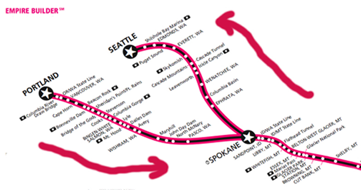
(Click this map
from the Klammath Falls Station to see the a large copy of the Coast
Starlight Route and bus routes through Oregon.)
 |
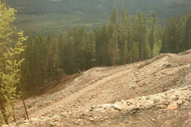 You may have
heard about the big mud slide that disrupted freight and Amtrak service
in Oregon for months. Above is the downhill view of some of the
repaired hillside below the tracks.
|
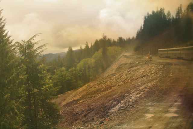 The end of our
train navigating replaced rails lost during the landslide.
|
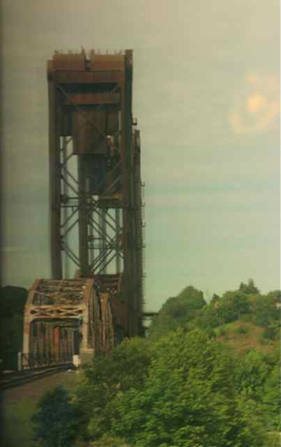
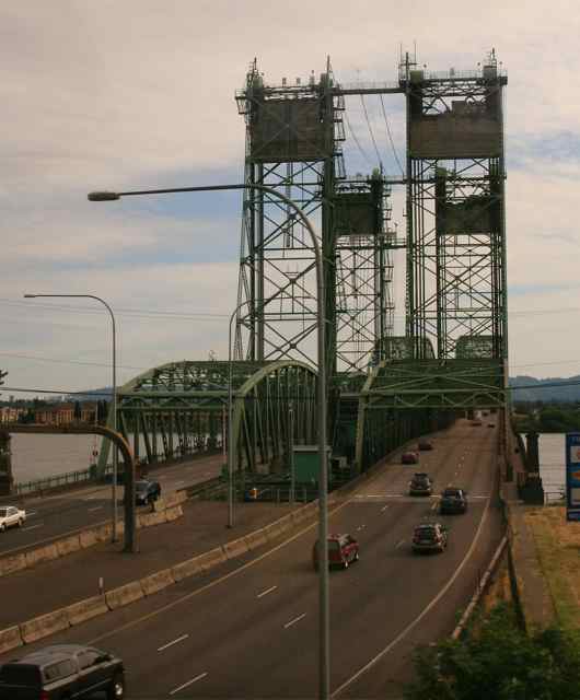
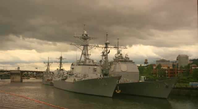 Arriving in
Portland, OR, and crossing the RR bridge, we saw these navy vessels in
town for a festival.
|
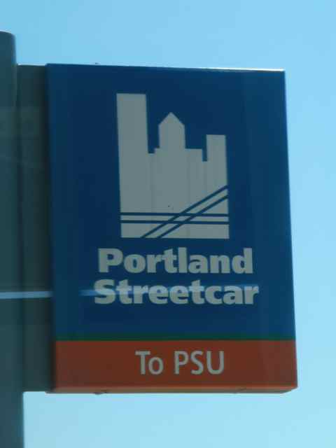
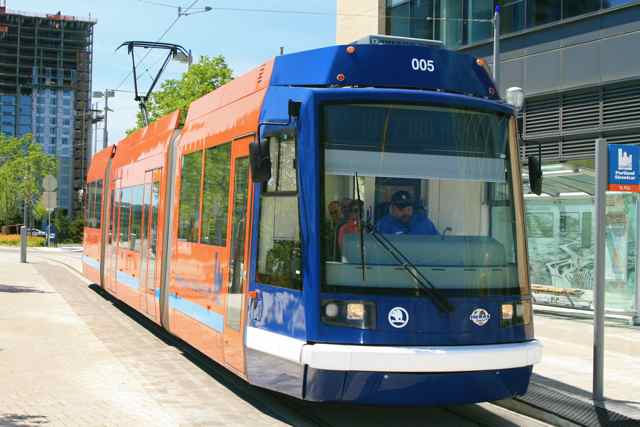
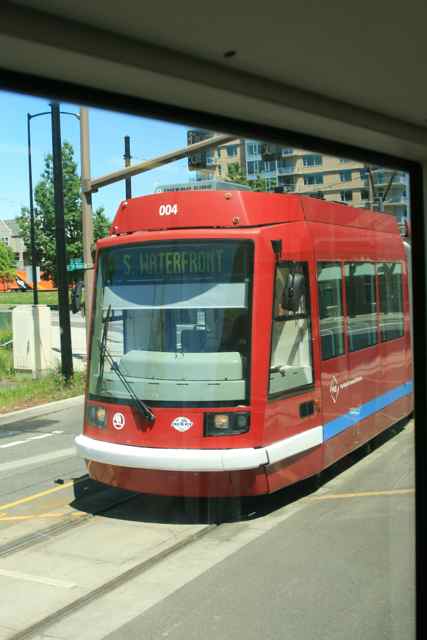
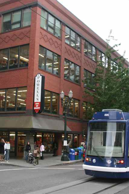 A couple of my
favorites, Powell's Books and Portland Street Car.
|
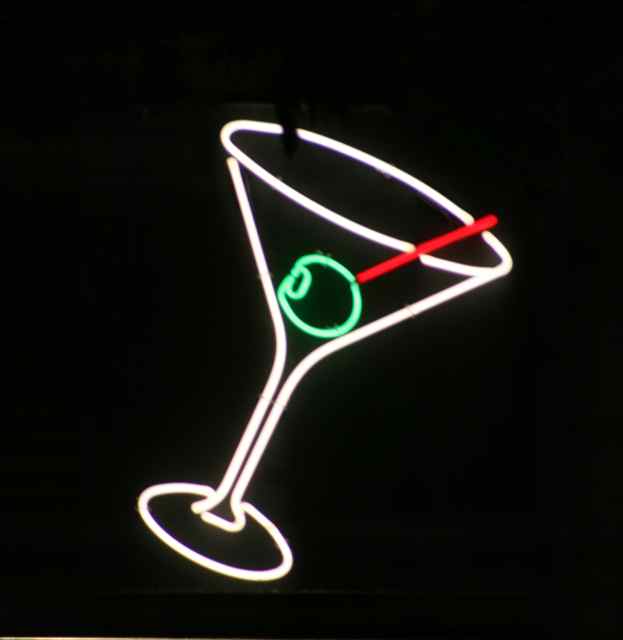 Neon in Jake's Grill window in the Governor Hotel |
 |
 From the streetcar. |
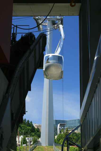
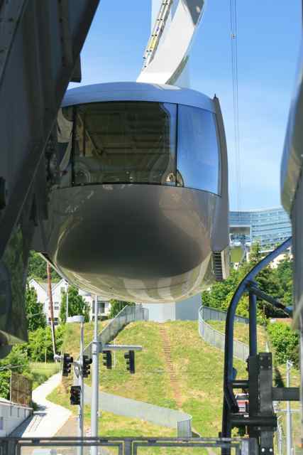
 Curious sign from the trolley. |
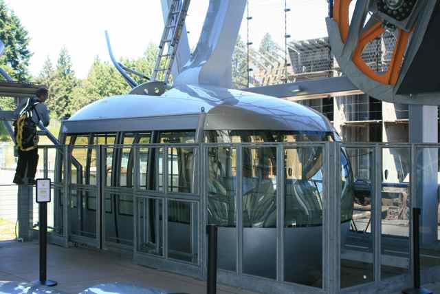
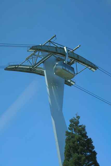 This Tram is near the end of the south loop of the streetcar. |
 Lower Tram Station |
 |
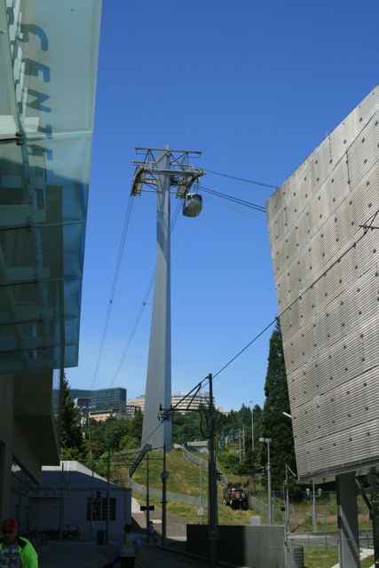 On a 12-minute
end-of-the-line break for the streetcar operator, I walked around the
nearby Tram Station.
|
 |
 |
 $4 round trip |
 |
 |
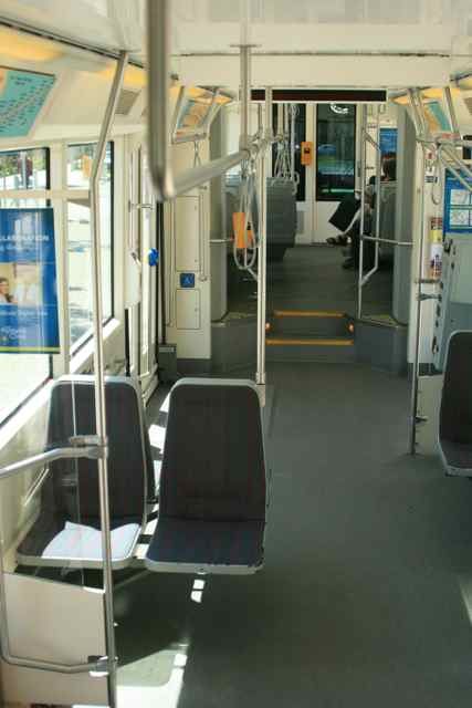 Inside the articulated streetcar. |
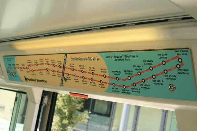 Tan area of the
streetcar map is a free area, otherwise it is $1.75 or $.85 for seniors
called "Honored Citizens."
|
 |
 |
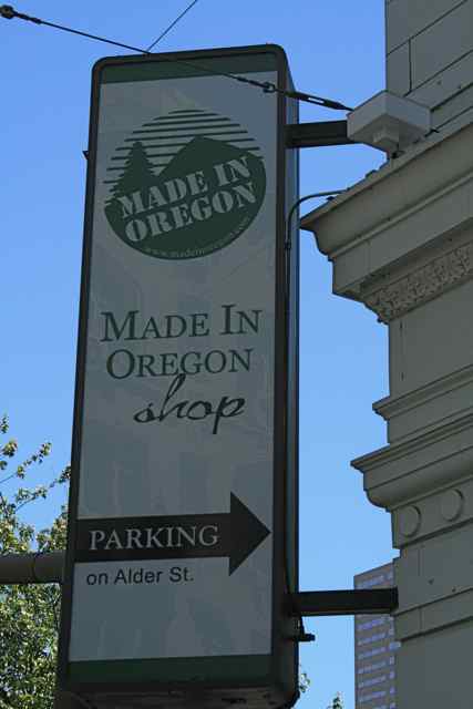
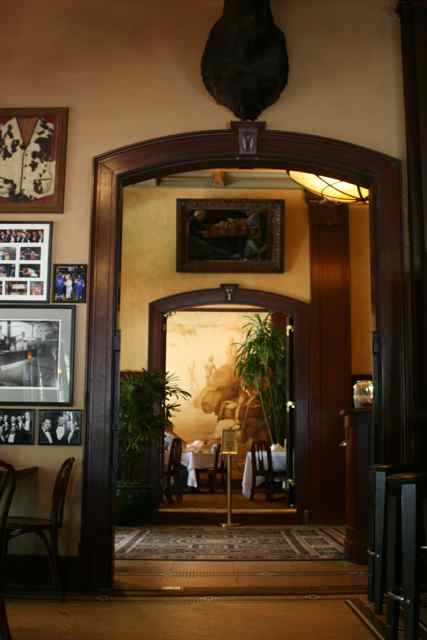
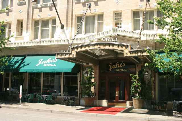 Jake's Grill in
the Governor Hotel...great lunch before we returned to the Station for
the Empire Builder to Essex, MT. I went across the street to the
"Made in Oregon" store for a gift box of 3 half-bottles of Honeywood
berry wine.
|
 |
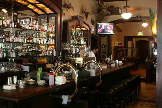 The Bar at Jake's, above. Right, the scene from our table of the main entrance and dining room beyond. |
 |
 |
 |
 |
 |
 From the pedestrian bridge over the tracks. |
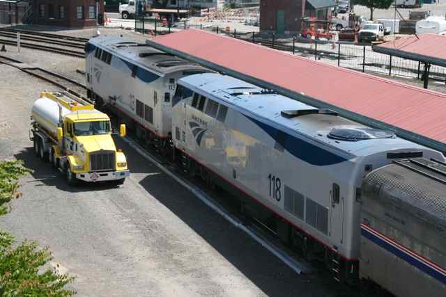 Fueling the Genesis |
 |
 |
 |
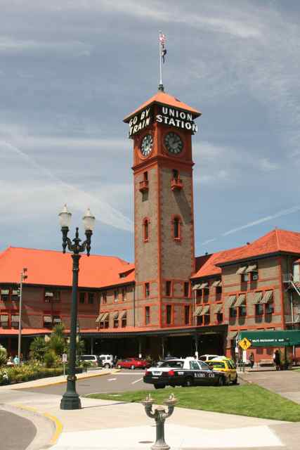 |
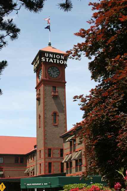
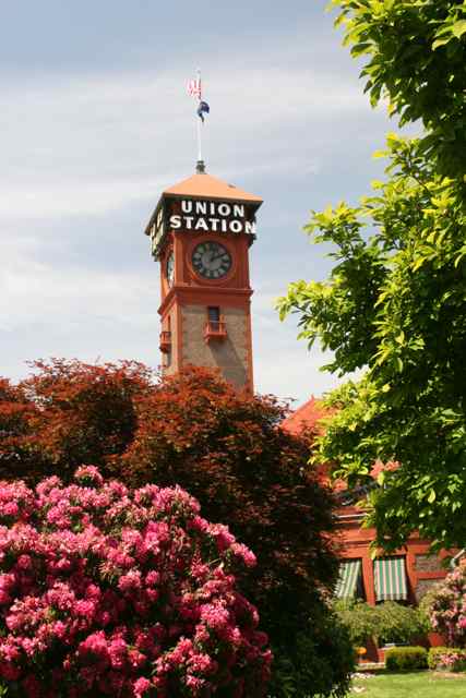
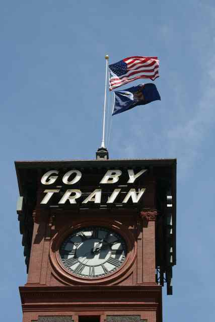
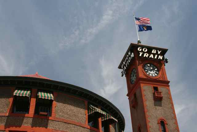
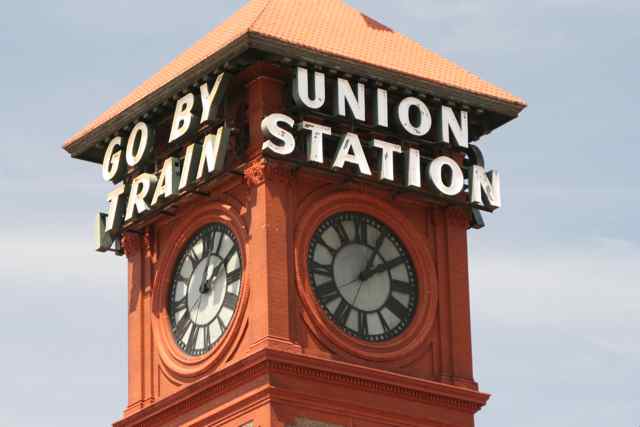 These words
have been on the Portland Station clock tower for years. I saw
the same letter style on a sign downtown that said, "Go By Streetcar."
|
 |
 |
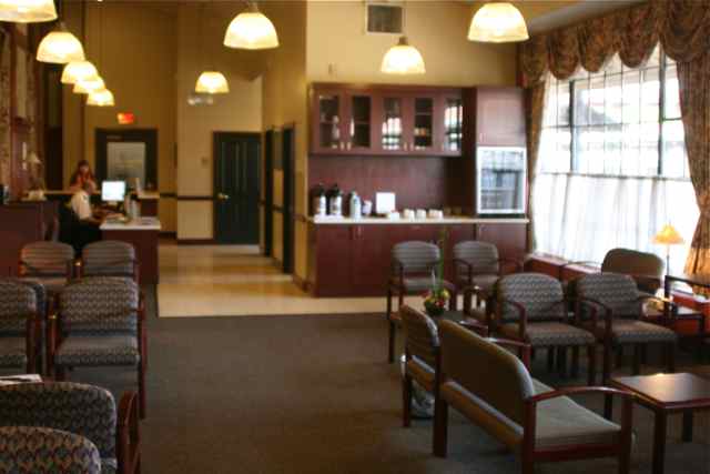 I returned to
the Metropolitan Lounge to work on my photographs on my computer.
They do not have wireless
Internet, however.
|
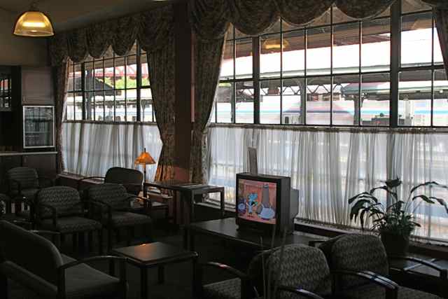 They do have
free softdrinks and a television, and plenty of seating away from the
large train lobby.
We loaded our luggage into our Empire Builder roomette, and checked in with our Dispatchers (wives) (Right). |
 |
 The Coast Starlight pulled in, |
 this trainset had a Parlour Car! |
 |
 It was soon
"All Aboard" for the Empire Builder and we headed across the Columbia
River, to Vancouver, WA, then eastward up the Columbia Gorge.
|
 |
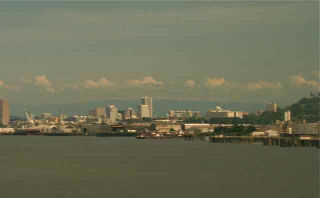 From the bridge, we could look back at downtown Portland. |
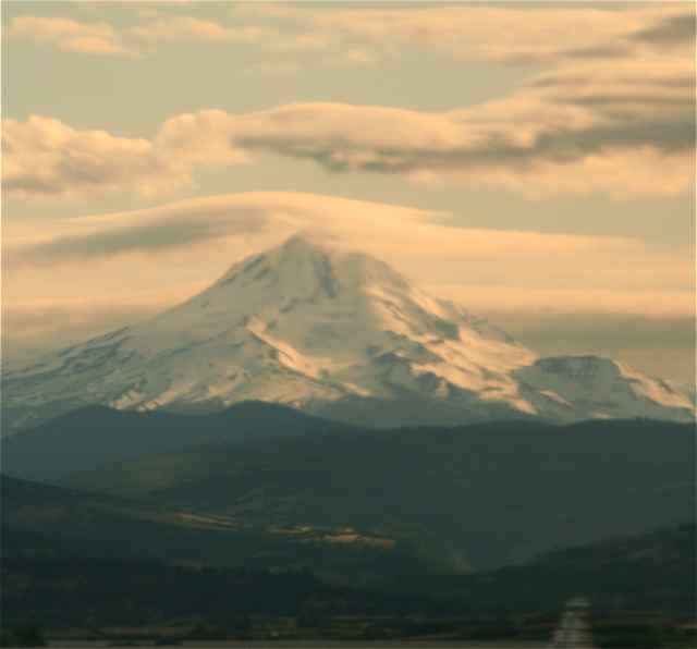
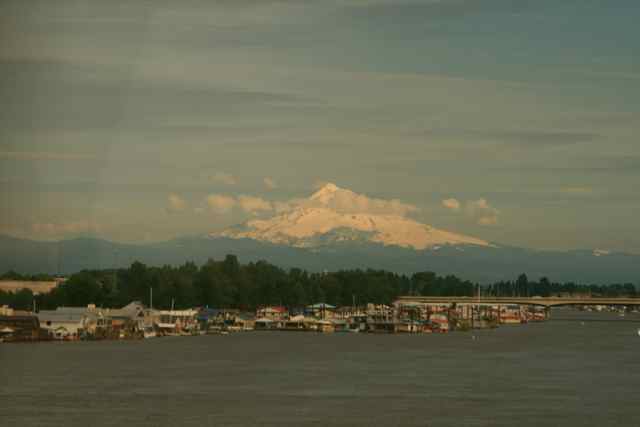 We had ample
views of Mt. Hood across the Columbia as we headed east.
|
 |
 |
 Vancouver, WA,
Station. The Route Guide said to look for Plum Trees and Prune
Drying Sheds in this area.
|
 Crossing above I-5 along the Columbia RIver. |
 Portland, OR, Airport across the Columbia R. |
 The consist was
a Sightseeing/Lounge car (no diner nor transition car) immediately
behind the baggage car, so this unique view was from the Sighteeing car
toward the Locomotive.
If this Empire Builder is now the Flagship of the Amtrak Fleet, maybe they should get a 'redo' on the paint job in the Sightseer Lounge (right). |
 |
 Many very nice, new, large homes at riverside. |
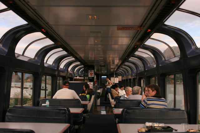
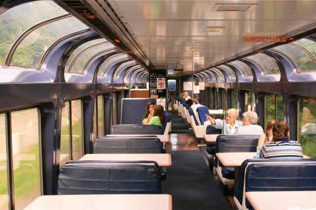 The
lounge-sightseer car is the best place to view the Columbia
Gorge. Our's had the new blue configuration with half tables (for
more seating) and 1/2 uplolstered seats.
|
 |
 |
 |
 |
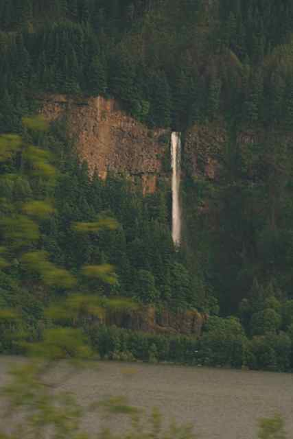
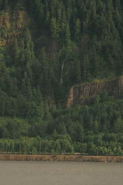
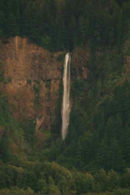 Multnomah
Falls
|
 |
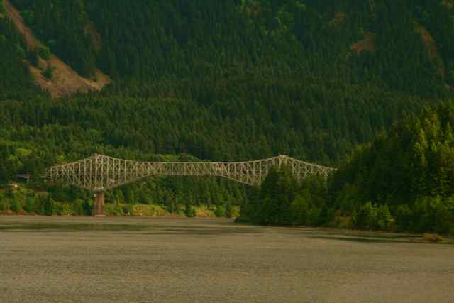
 (Right) Bridge of the Gods from Cascade Locks, OR, to the vicinity west of Stevenson, WA. |
 |
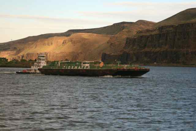
 Tow Boats move
barges of grain and other products along the river.
|
 |
 |
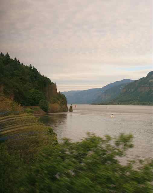
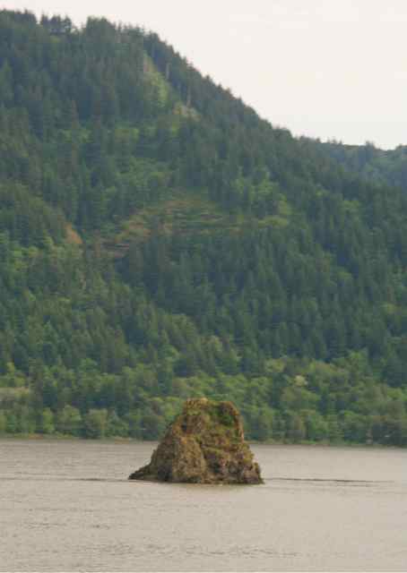
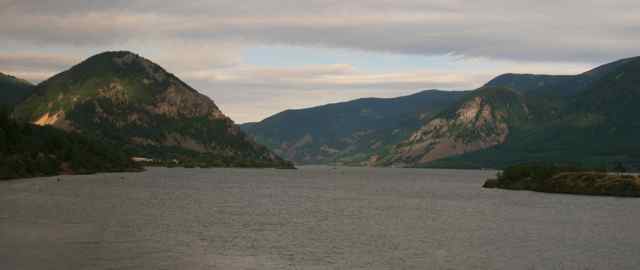 The Columbia
River Gorge, ranging from 2,000 to 5,000 feet in altitude, is 55-miles
long and was formed by the incredible strength of the Columbia River.
|
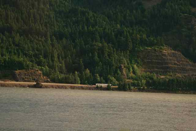 Semi-trucks
along the shore are dwarfed by the 4,000 ft. canyon walls.
(Right) Other waterfalls appear as we head east. |
 |
 At one point,
we seemed to cut across an inlet on the water, as you can see on both
sides of the sightseet lounge. It was a causeway.
|
 I spotted the
Columbia Queen Riverboat, on which my wife, Sue, and I had taken a
one-week cruise between Astoria on the Pacific, and Idaho.
|
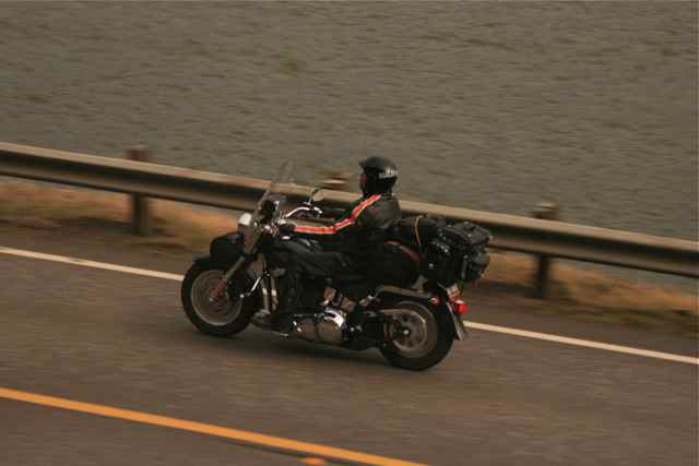 |
Understandably, this is a great route for motorcycles. |
 The gorge gets
shallower as we progress eastward and some beautiful estates, including
wineries, can be seen on the bluffs.
|
 It seemed as if we were circling Mt. Hood |
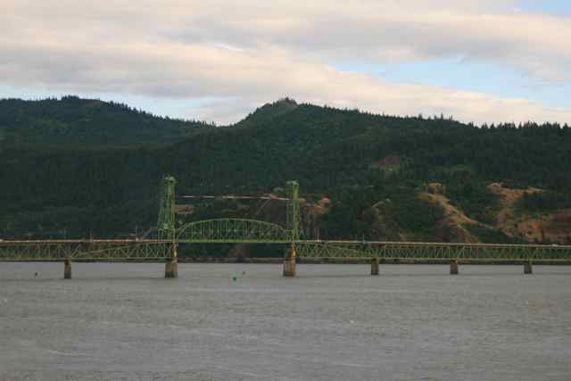 Lift bridges allow ocean-going ships and riverboats to reach this far inland. |
 Logging is
still big up here, even though the products have changed. Some
products go out on ships to be made into chipboard and plywood.
|
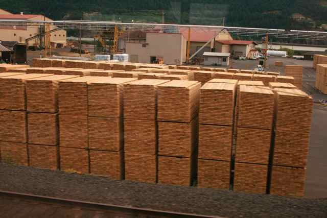 |
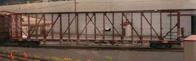 An empty rack
for hauling lumber, as shown to the left. Some lumber on the
rails may be covered with waterproof material.
|
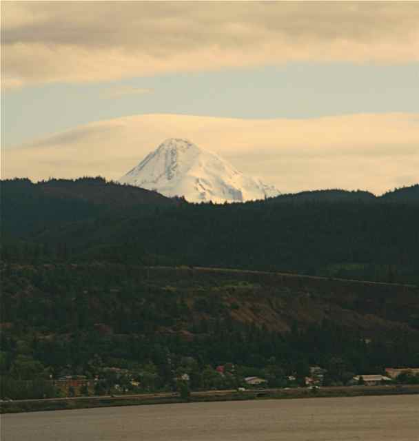 Could we be getting closer to Mt. Hood! |
 The late
afternoon sun made a 3-D landscape along the Columbia River.
|
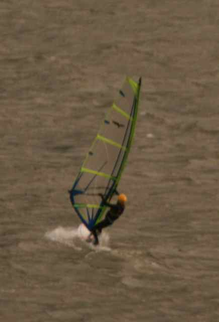 The town of Mt.
Hood, WA, is known as an excellent place for wind surfing.
|
 Tow boats
maneuver barges up and down the river, through locks next to the dams,
and into loading docks.
|
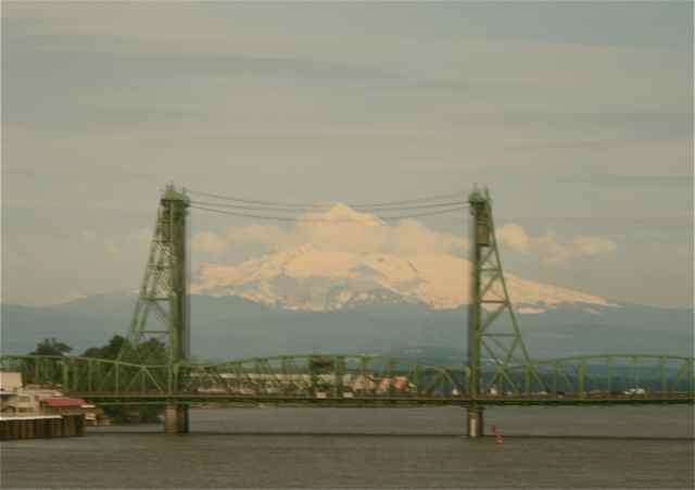
 Tow Boats have their own fans just like trains. (Right) Never
too late for another shot of Mt. Hood from the Empire Builder out of
Portland.
|
 |
 The Dalles,
navagable waters today because of dams on the Columbia, was originally
rapids and a favorite Indian fishing area.
|
 |
 As the light
gets lower in the west, Mt. Hood (right) looks majestic.
|
 |
 |
 |
 |
 Native
Americans in the area can fish, and have for years, from this type of
platform.
|
 Constructed by
Sam Hill, Stonehenge was the first monument built in the United States
in honor of those killed in the first World War. It is a tribute to the
soldiers of Klickitat County who lost their lives in the war.
|
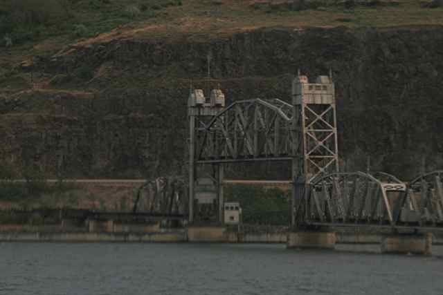
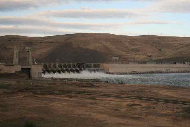 Another of the dams/locks on the Columbia. |
 |
 |
 I found the
portion of the track next to the wide river caused by a dam, especially
photogenic.
|
 Although we
were not yet officially in 'Big Sky Country' I thought this photo
looked like what I would see in Montana.
|
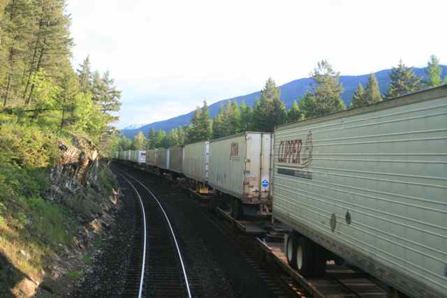
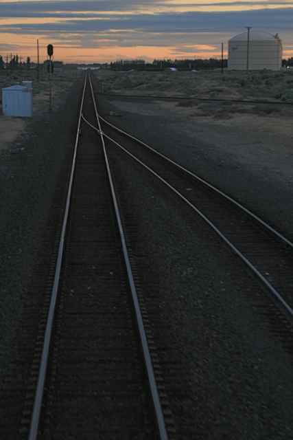 When you are
taking photos from the 'caboose' on Amtrak and you feel a switch under
the car, this is a chance to get a photo of something different than
single track.
|
 This factory
next to the siding would be a good candidate for the setting of a
Sci-Fi film in my opinion.
|
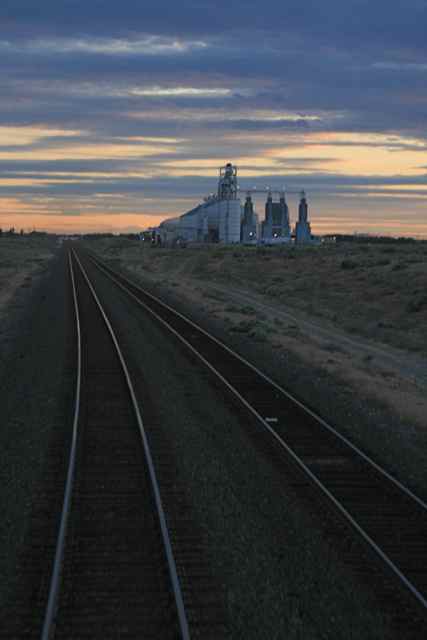
 A vertical shot
may make the sky and track a more dramatic photo.
|
 |
 We passed
through a narrow cut in the rocks and there were many wires strung on
the telephone poles as detectors of fallen rocks from the sides.
In fact we stopped for a track inspection once on this trip from such a
detector's signal.
|
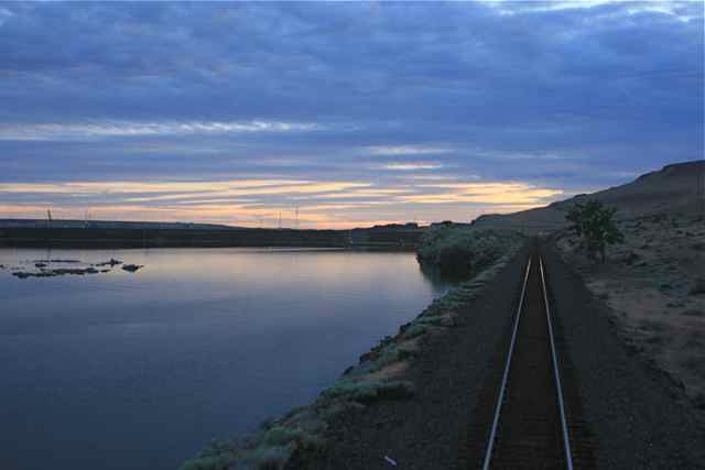 |
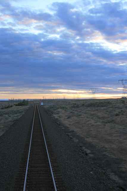
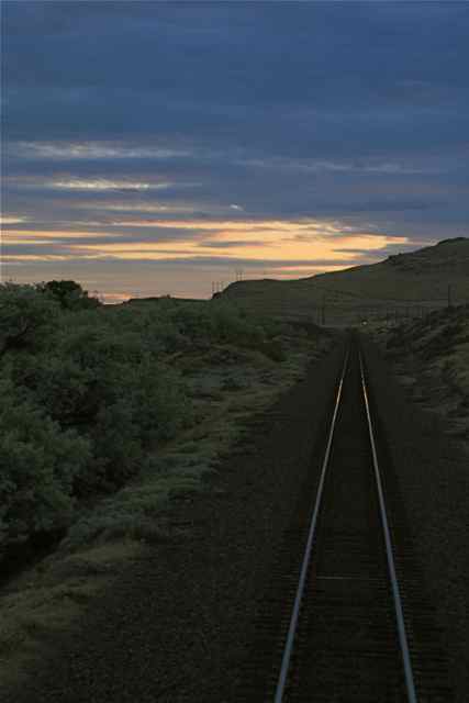
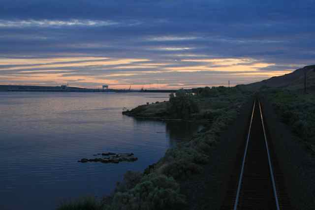 Obviously, I
was fascinated by the tracks stretching along the Columbia.
|
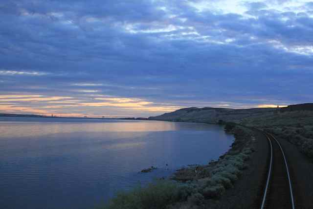 Do you like a curved track better? |
 |
 |
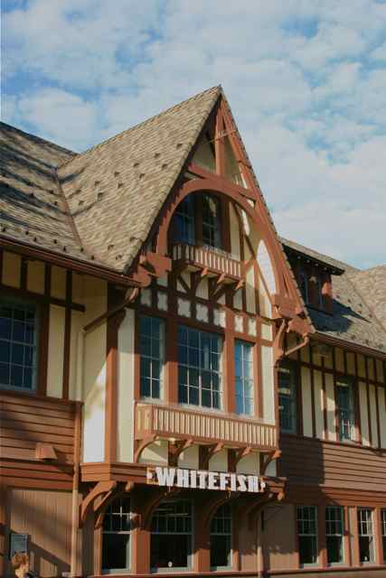 |
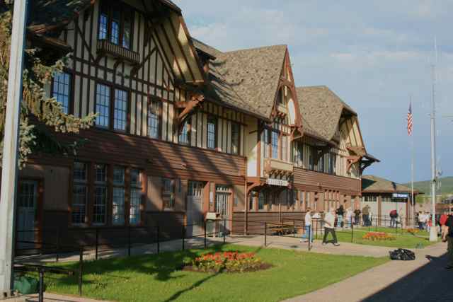
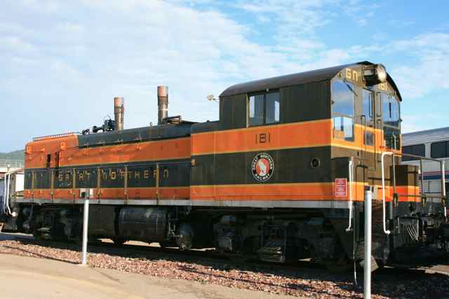 Whitefish, MT, not only had an
alpine-style station (below), but vintage Northern Railway rolling
stock.
|
 |
 |
 |
 |
 |
 |
 Belton-West Glacier, MT, Station |
 Our first sight
of mountains inside Glacier National Park.
|


